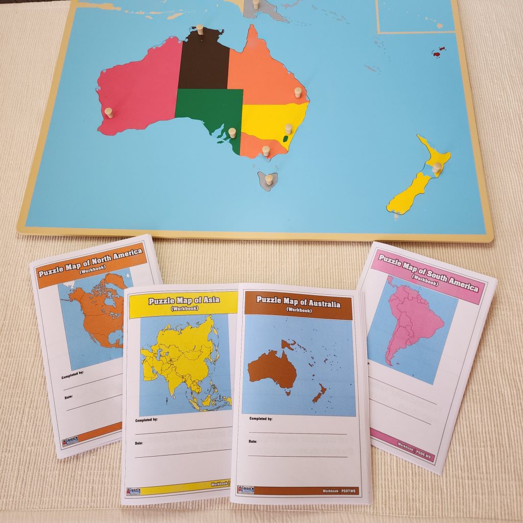
Puzzles Maps are introduced at the primary level around age 5. They consist of eight maps representing the seven continents and the world. The large colorful puzzles contain movable pieces with knobs and can be accompanied by large outline charts. These puzzle maps represent the political boundaries of the world. Before learning about political boundaries, children will have learned that the Earth is a sphere made of land and water forms. They experience the process of creating maps by flattening a 3D shape, tracing a map of their body, and reducing maps to make them more manageable. Finally, they develop a sense of direction by labeling the four cardinal directions in their environment.
Once children are familiar with the way the Earth is laid out and represented, they are offered to work with political maps known as puzzle maps. Montessori classrooms are equipped with large puzzles with movable parts representing continents and countries. Children are first introduced to the map of the world with the seven continents. Next, they are presented with the political map of their continent. Their task consists of transposing the concrete pieces of each country to an outline of the map. The whole experience is sensorial and serves as a primer for later’s studies. Children are exposed to the names of the countries; they are refining their fine motor skills, eye-hand coordination, and spatial skills while moving the parts from the puzzle frame to the outline chart. Finally, children implicitly learn the location of the capital cities since the pegs are placed where the capital cities should be located.
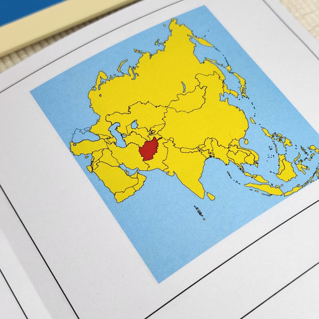
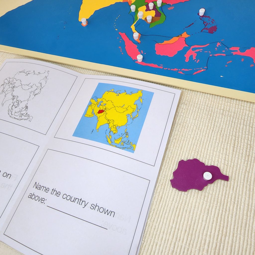
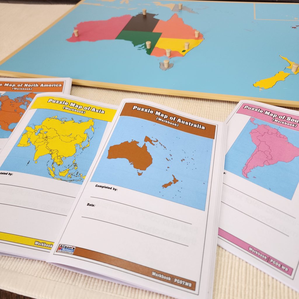
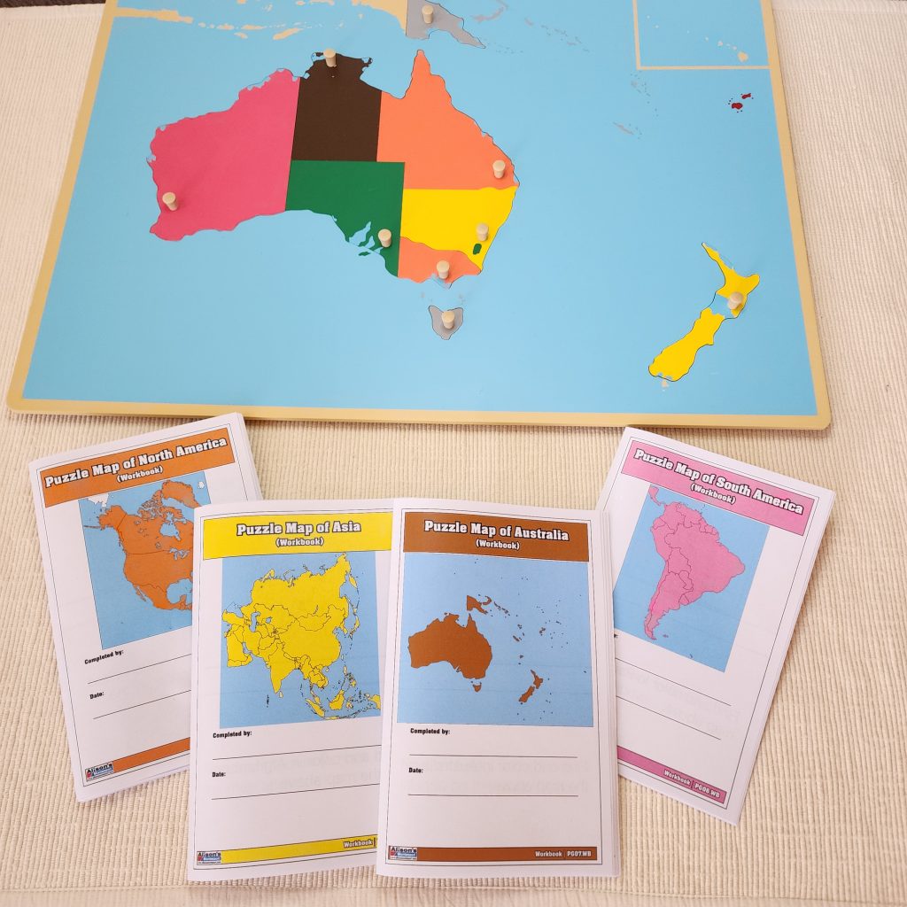
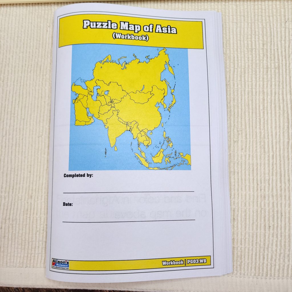
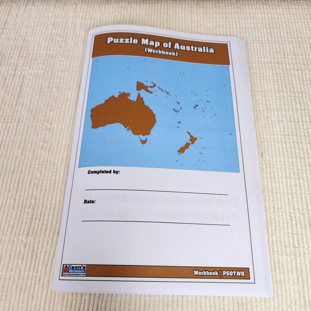
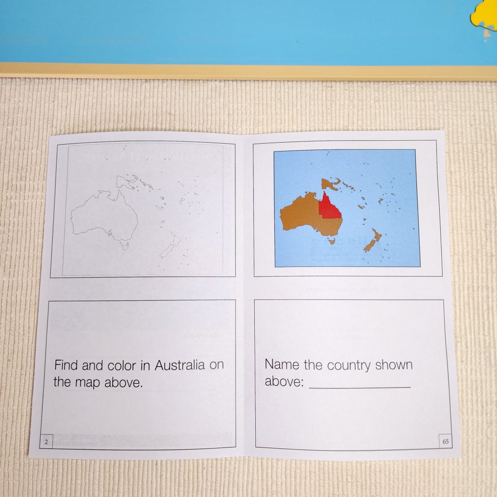
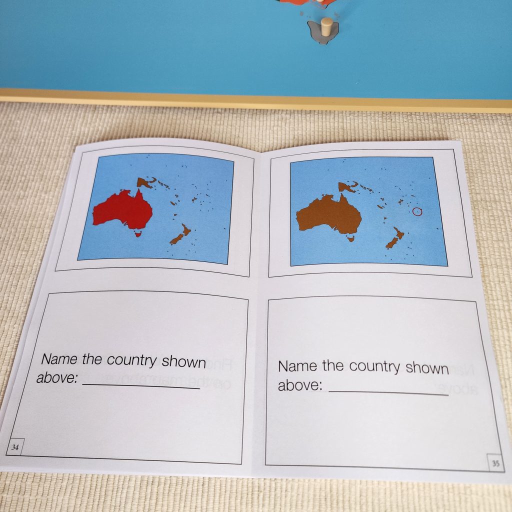
At Alison’s Montessori, we want to expand children’s choices when working with Montessori materials. We have developed exclusive Puzzle Map Workbooks to complement the Puzzle Maps. Extension works fulfill the need for practicing skills through diverse means. Our Puzzle Map Workbooks are colorful reproducible materials covering all the countries on a given continent. They contain maps to color, commands, and cloze tests. Each Workbook is designed using parts 2 and 3 of the three-period lesson. In the first part, children are asked to “Find and color in Mexico on the map above.” They are provided the country’s name, must recall its location, and color the space on the black-and-white map. In the second part, children are asked to identify the country highlighted in red on a colored map: “Name the country shown above.” This time, children are not provided the name of a country. They must come up with the name and write it down in the provided space below the map.
Right: Identity the Highlighted Country
We recommend you make a few copies of the reproducible workbooks and make them available on the shelf near the Puzzle Maps Cabinet. Once your experienced learners have worked sufficiently with the Puzzle Maps, you may invite them to use the Puzzle Maps Workbook. They may use a Puzzle Map to copy the countries’ names and check for errors.
Our supplemental materials are designed by our experts and produced in our facility in Mahwah, NJ! For more Montessori materials with extensions, visit our website at www.alisonsmontessori.com.