Are you ready to hit the open road and explore our wonderful country with your learners? One of the best ways to travel in the United States is by going on our major highways! Our major highways have played a significant role in U.S. history. By learning about these highways, your learners can better understand how transportation has shaped our nation. From the famous Route 66 to the massive highway system created after World War I, our highways have helped to connect people and places across our vast country.
Task Cards
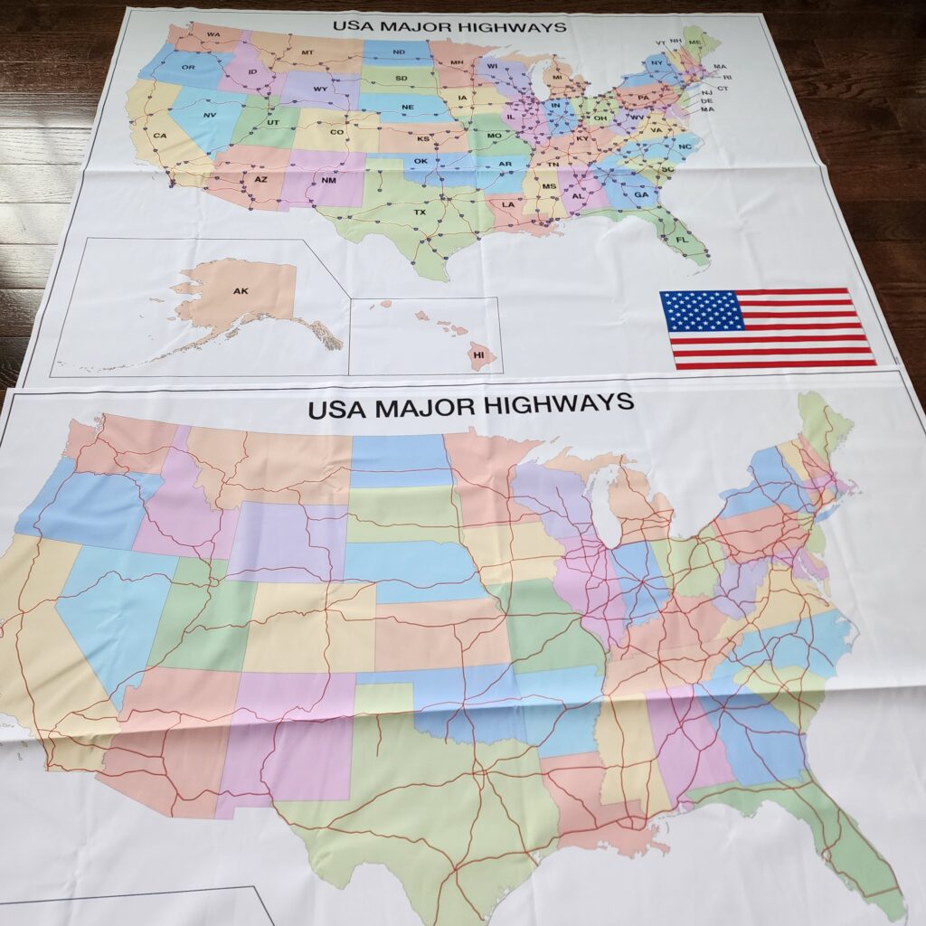
Bottom – Mute Cloth Chart
Your learners can also better understand our country’s diverse geography. From the coastlines of California to the mountains of Colorado and the Great Plains of the Midwest, our highways can take us on a fantastic journey of discovery! Our major highways are also essential for commercial transportation. They allow trucks to transport goods nationwide and keep our economy running.
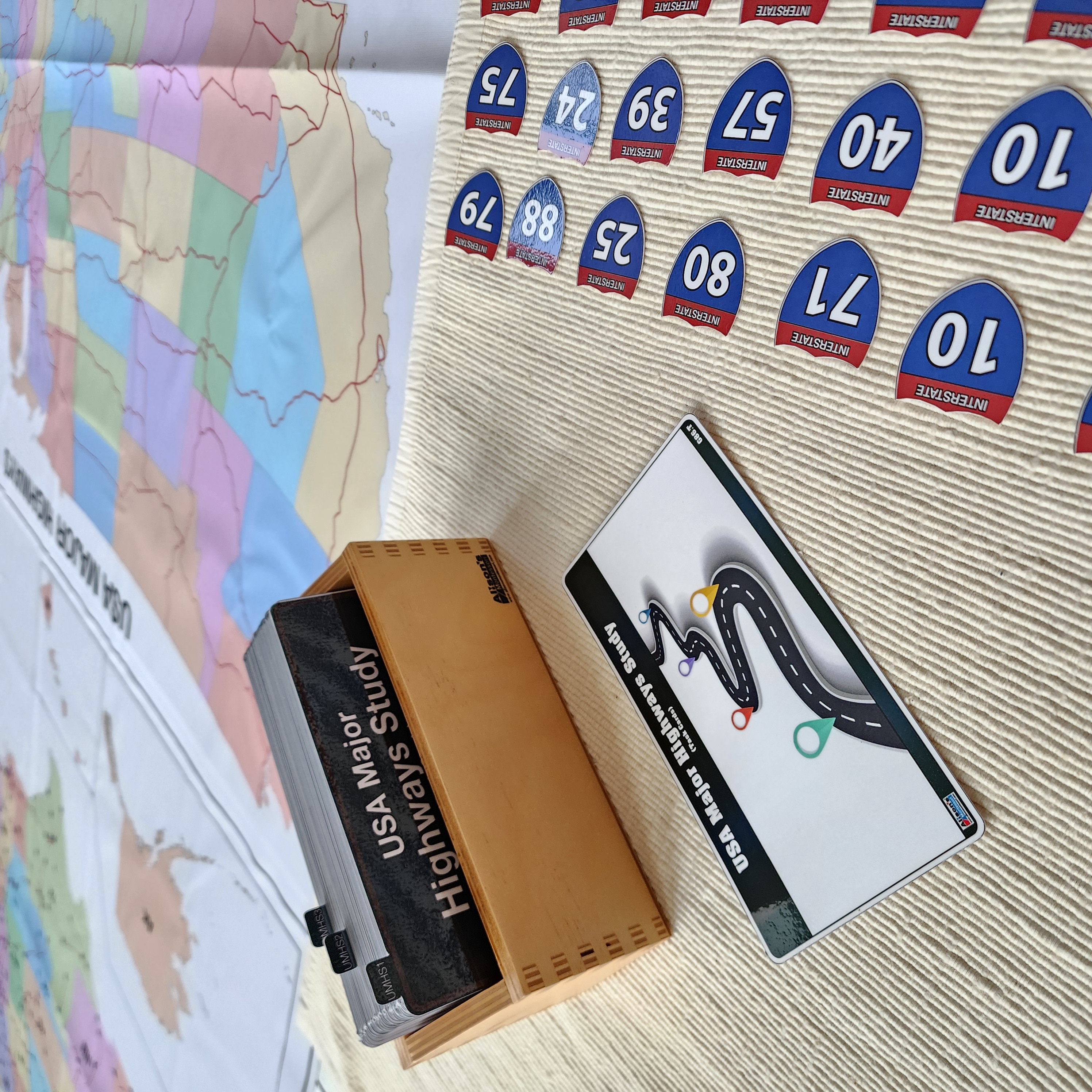
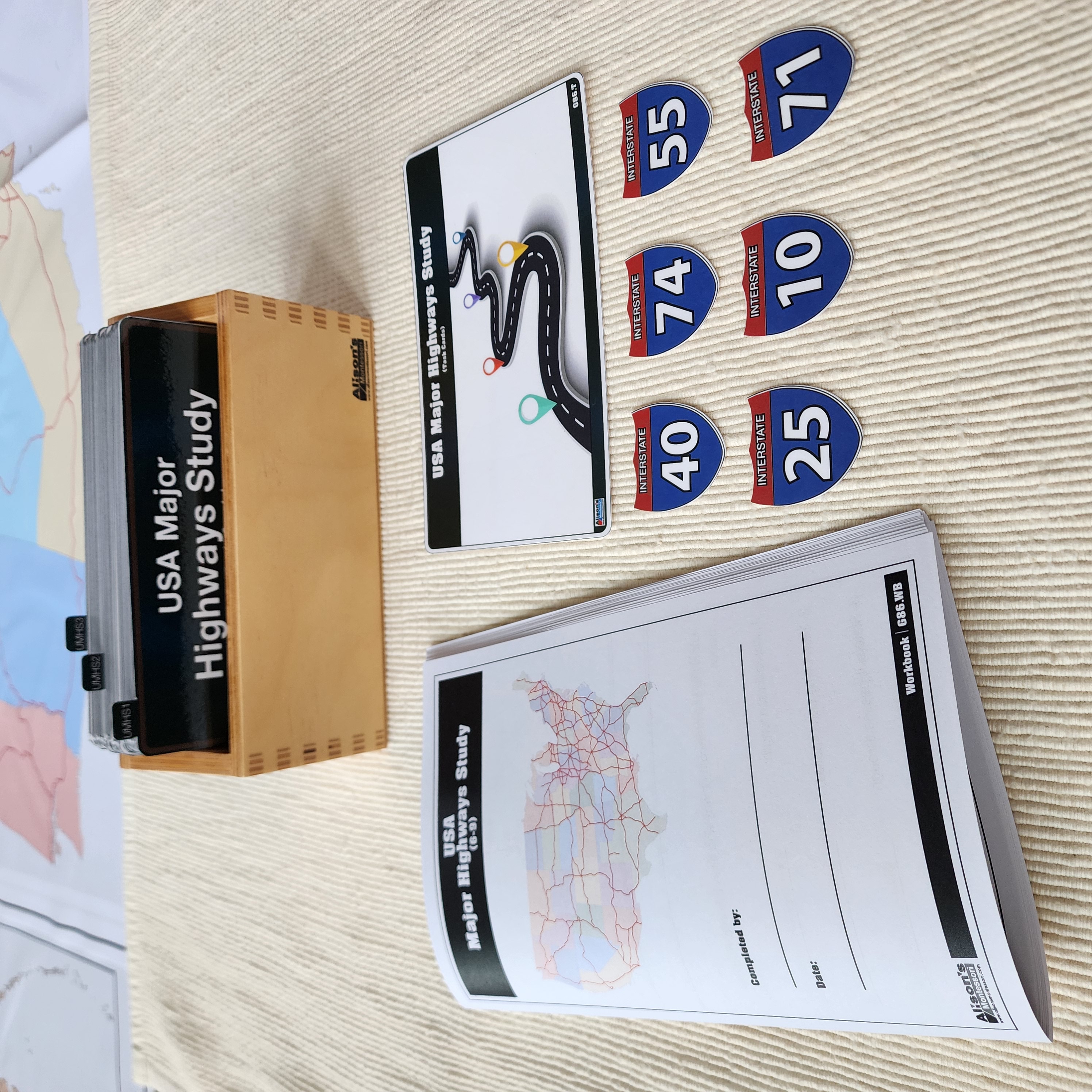
Our new exclusive material, USA Major Highways Study – Complete Set, will make this learning experience easy, educational, and enjoyable. US Major Highways Study comprises two large cloth charts and movable parts representing the major interstates road. In addition to the tactile platform, the set comes with a series of task cards and a reproducible workbook.
This blog post will showcase how USA Major Highways Study – Complete Set is organized.
Materials
- Major Highways Study Task Cards (Printed, Laminated, & Cut)
- Major Highways Study Research Cards (Printed, Laminated, & Cut)
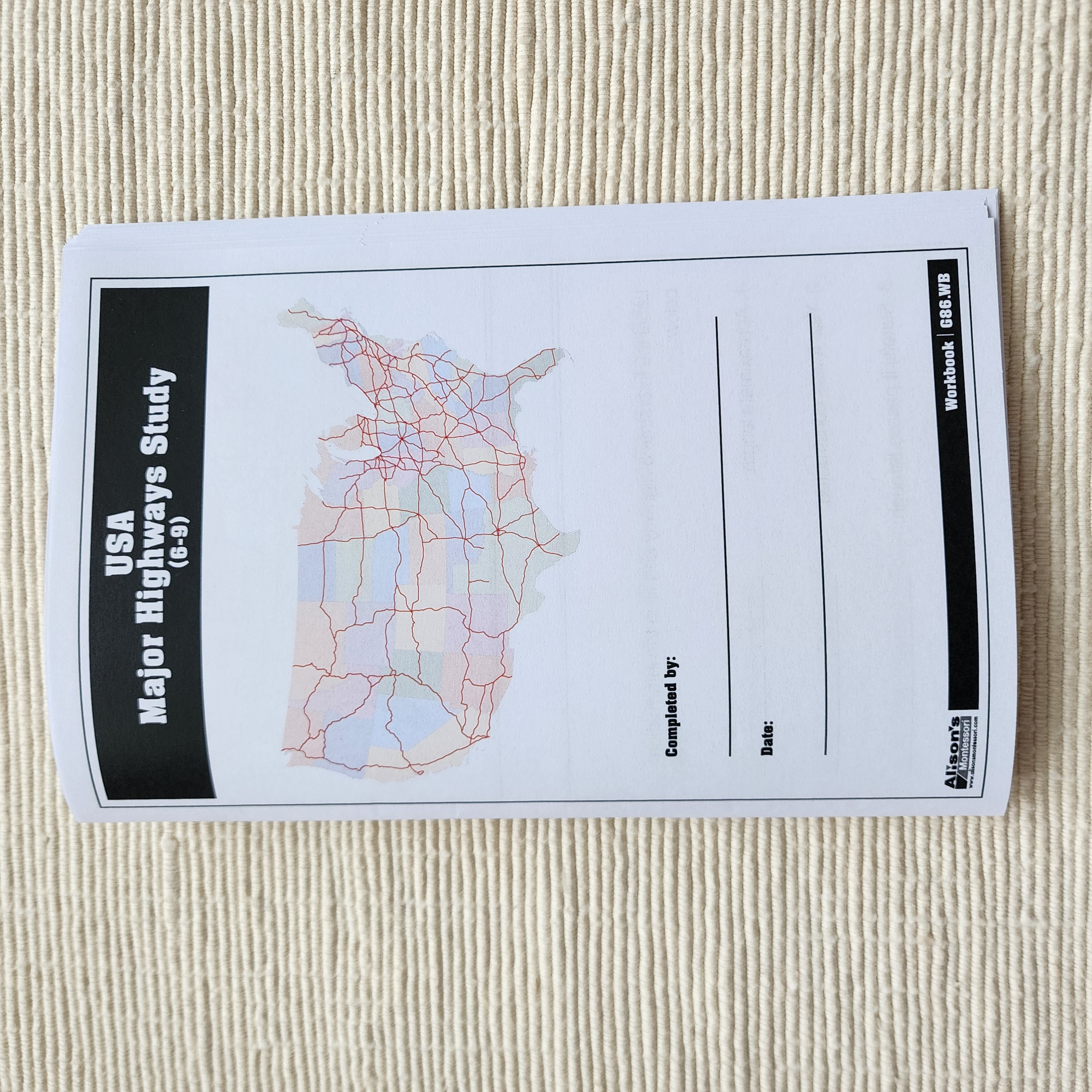
- Major Highways Study Workbook
- Major Highways Study Control Chart
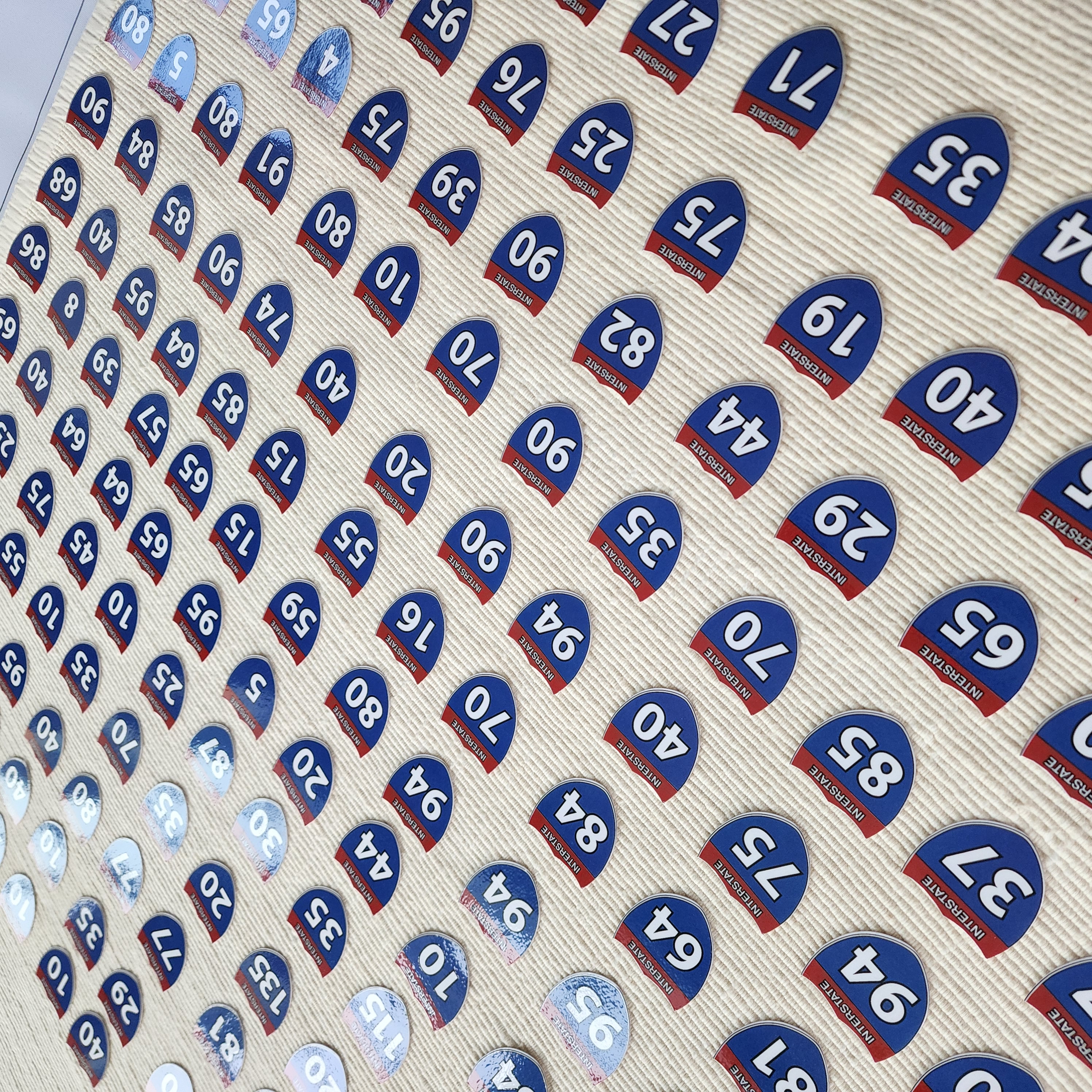
- Major Highways Study Mute Chart
- Major Highways Study Labels
Each part of the set can be purchased separately.
US Major Highways Study

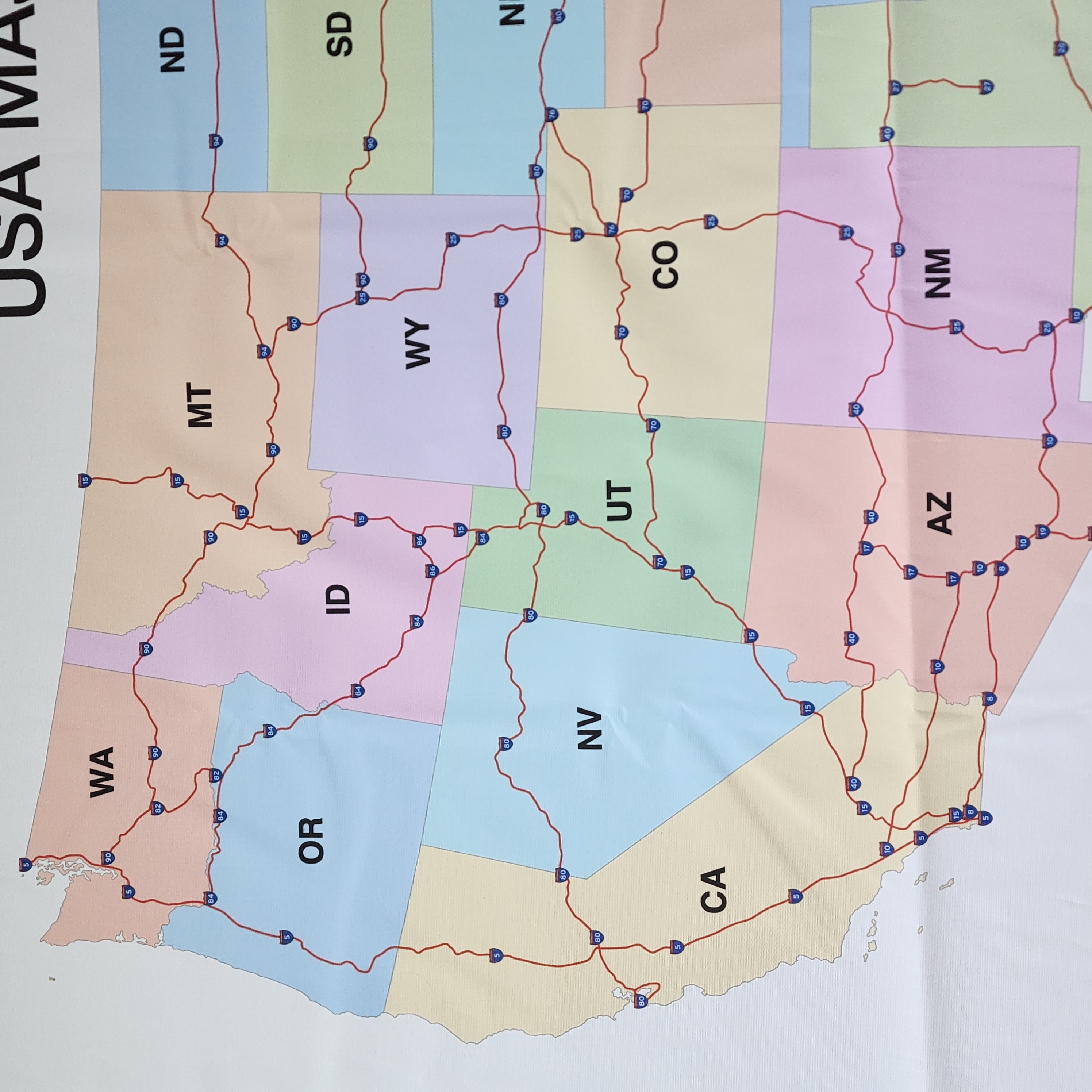
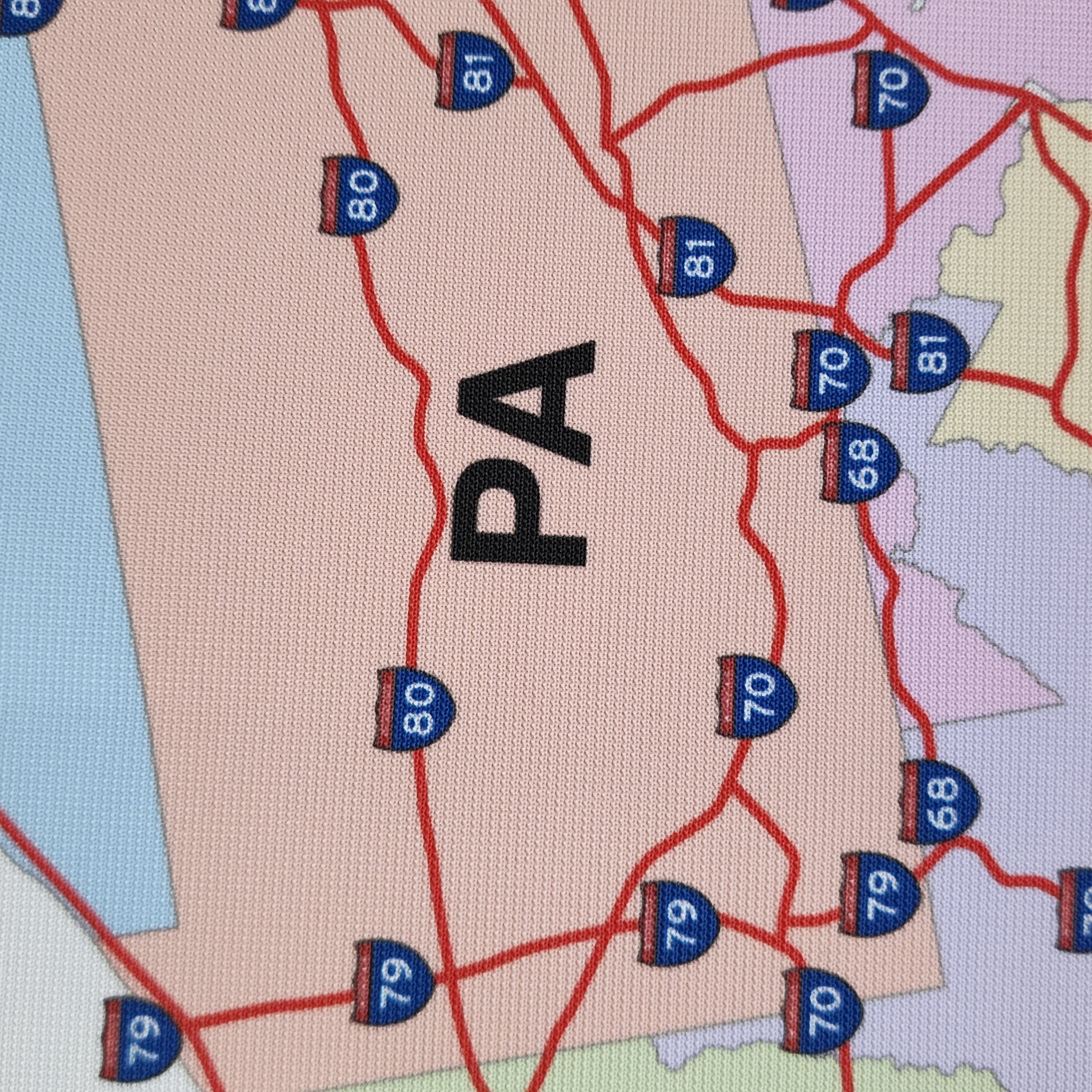
Begin by introducing the material by providing some background information on the benefits of learning about the U.S. major highways (as mentioned above). You may want to invite your learners to observe the Control Chart and have them discuss their impressions. Some learners will recognize familiar roads, while others will notice areas with a high concentration of roads or roads across the country. Introduce some historic or tourist roads using the Research Cards. Invite your learners to find the roads on the Control Chart while reading about them.
Guessing Main U.S. Highways
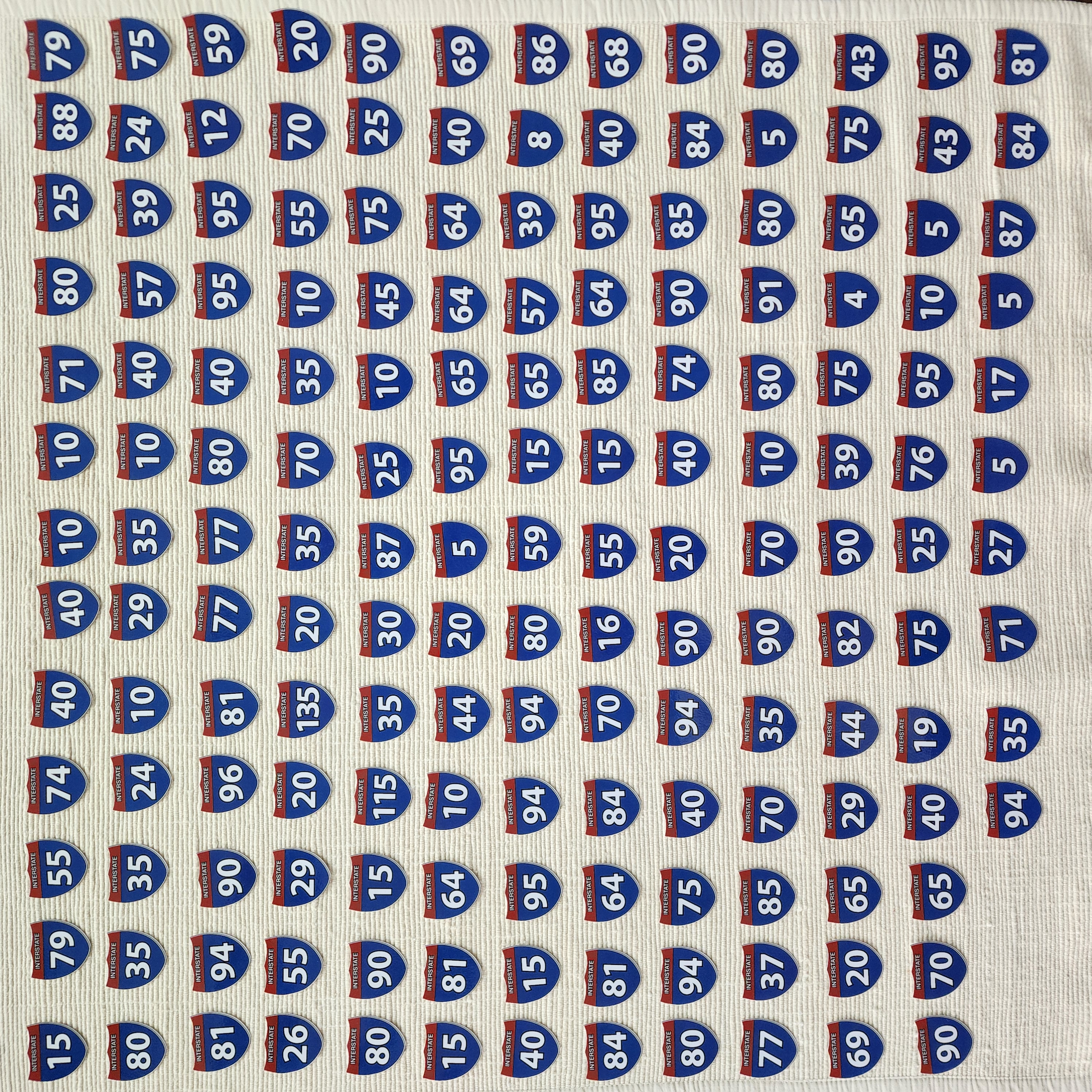
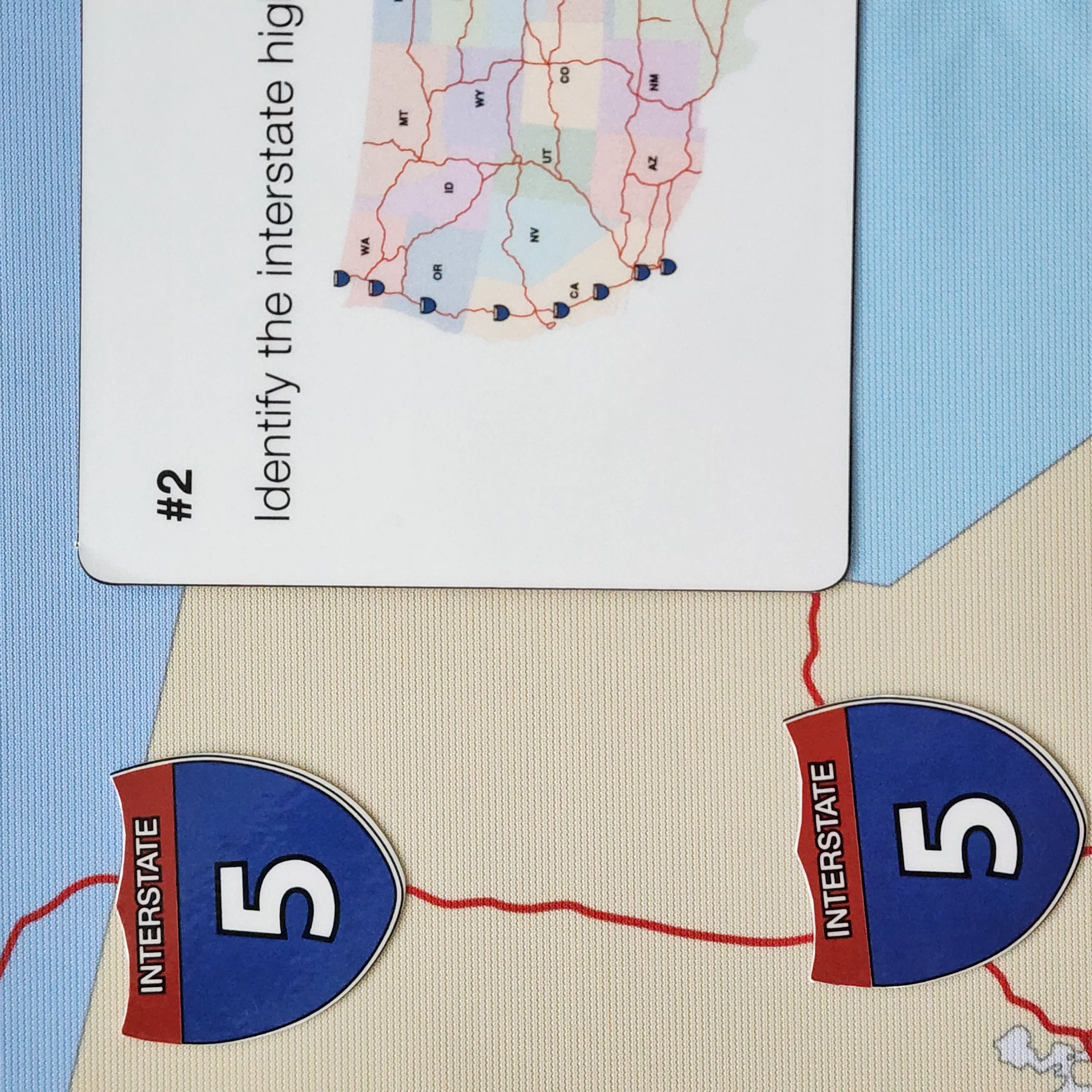
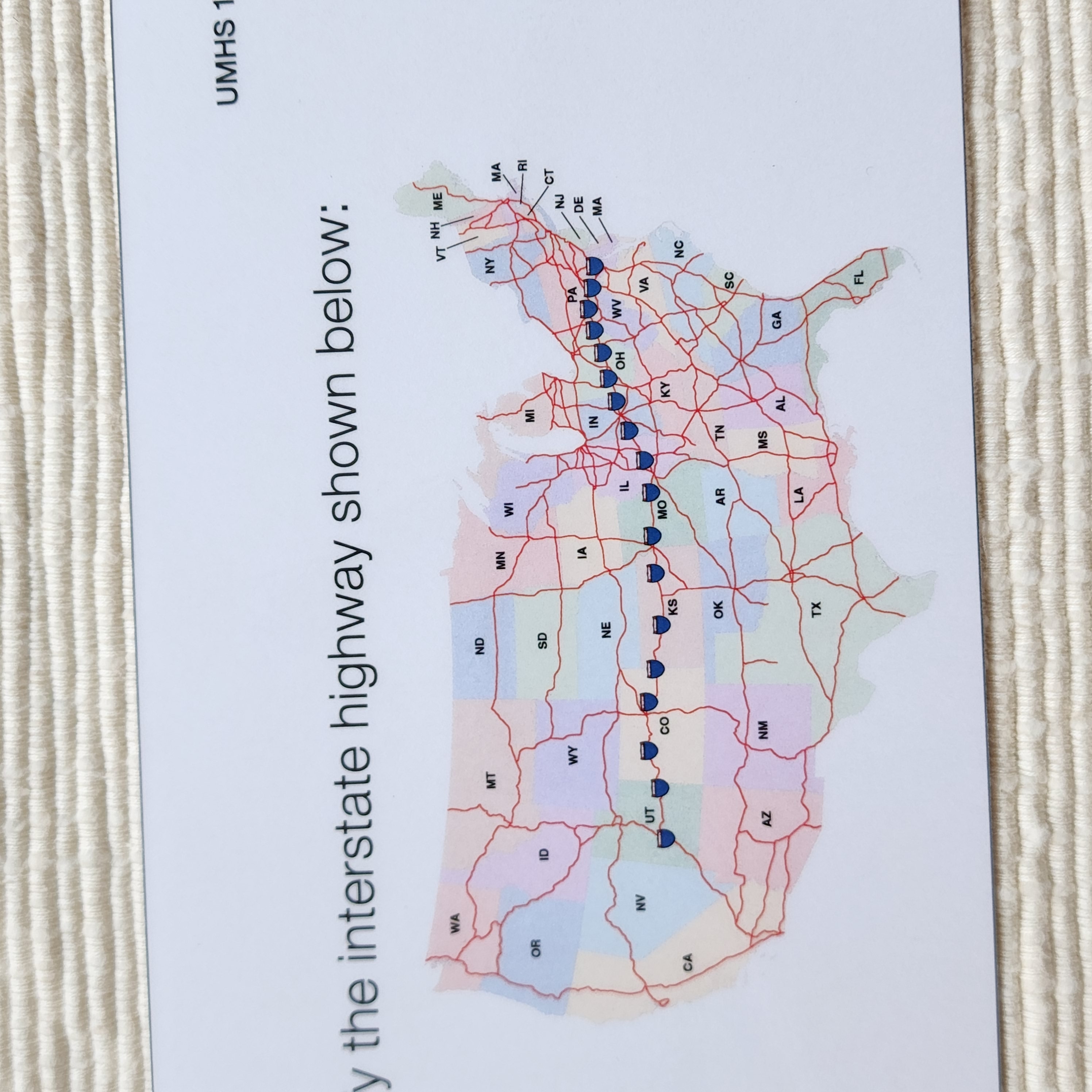
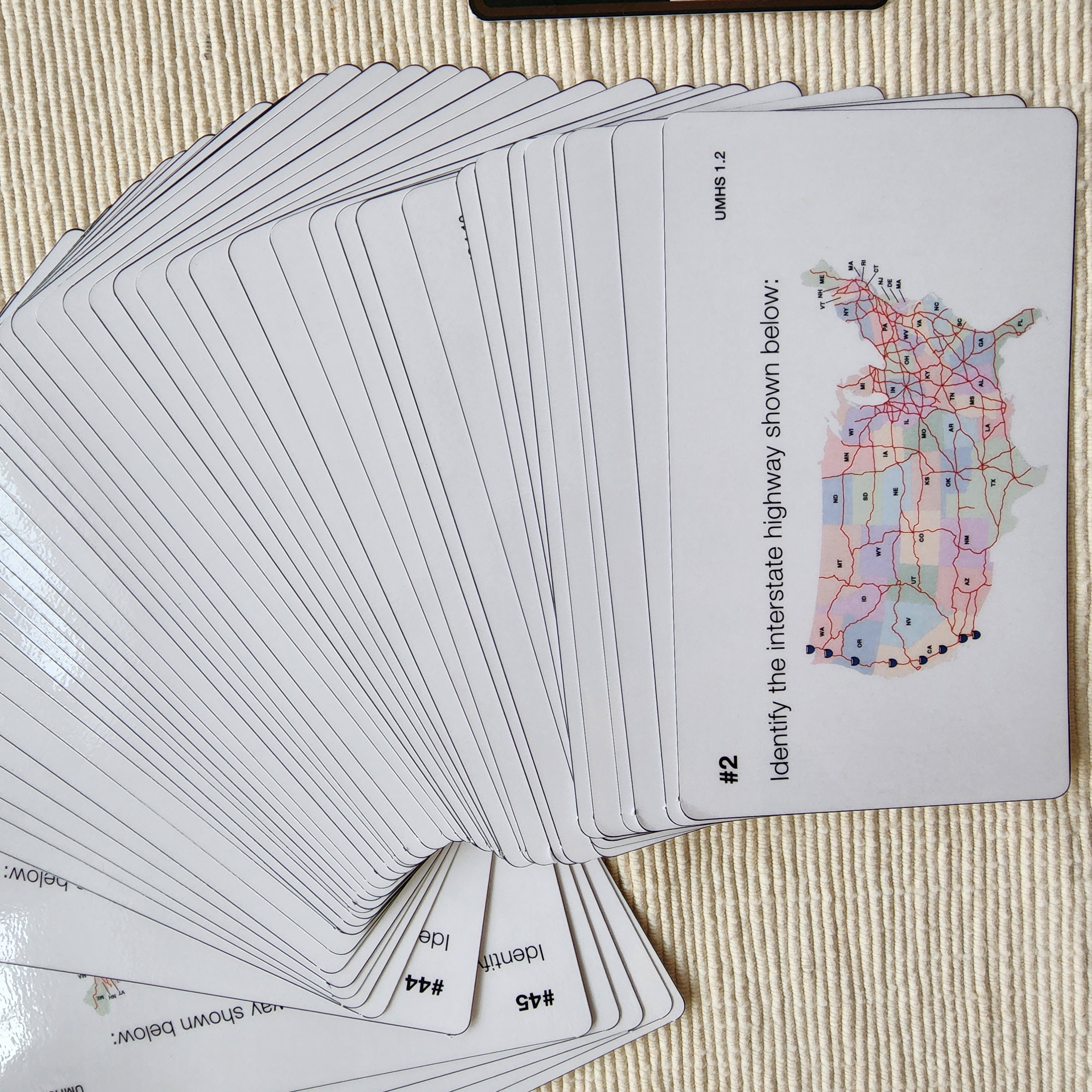
Now that your learners are familiar with the Control Chart and the Research Cards, they can practice labeling the Mute Chart using the road sign labels. Using the Task Cards, learners will be asked to label specific roads. This exercise is excellent for attention to detail and memorization. Unless children construct the map themselves, there is no guarantee they will retain the layout of a complex system such as the U.S. major highways. Our Task Cards are divided into three sections:
1. Identifying interstate highways .
2. Writing possible roads that cross a particular state.
3. Math word problems using speed/hours/miles.
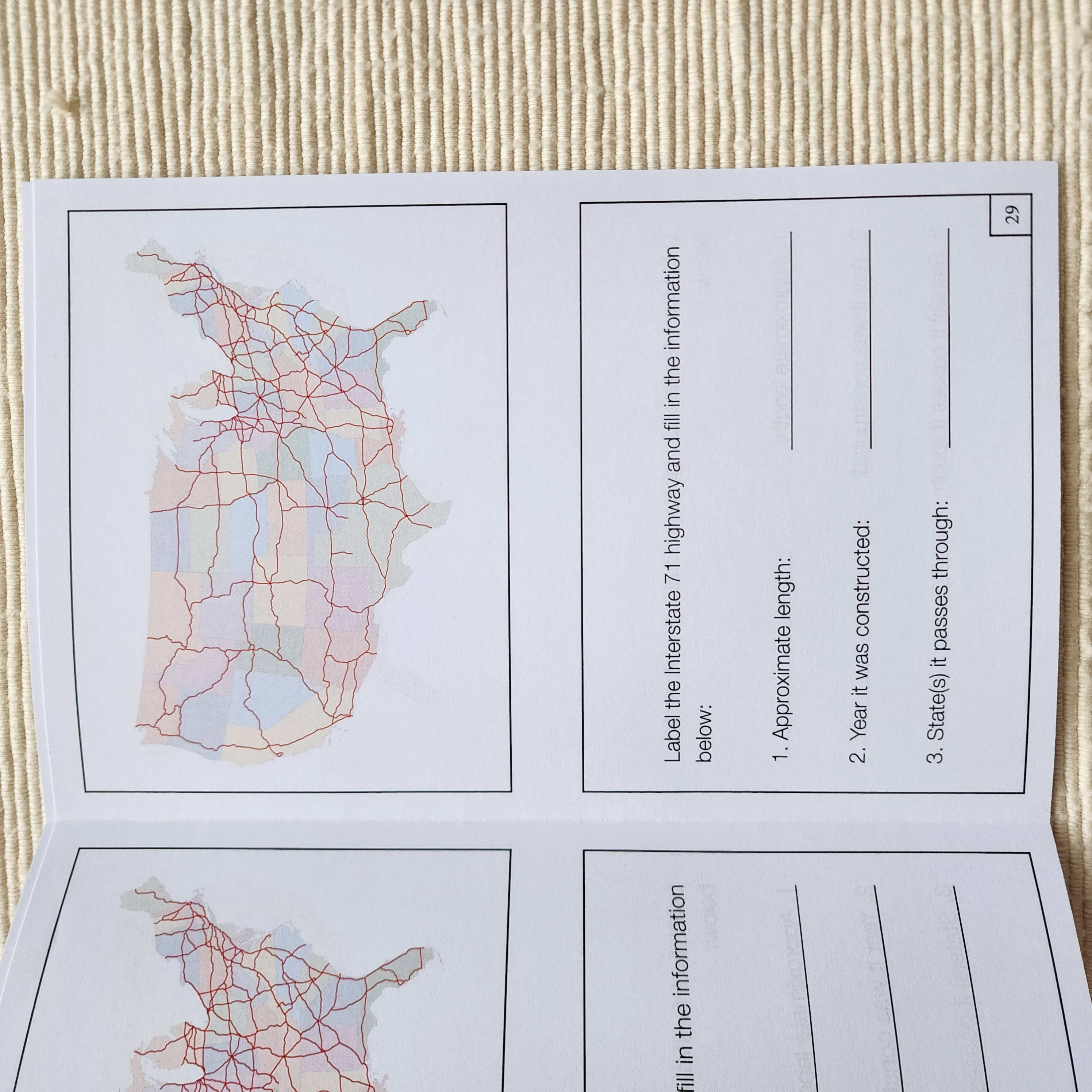
Reproducible Workbook
Section 1

After sufficient independent practice, provide your learners with a copy of the reproducible Workbook, encouraging them to use their newly acquired knowledge and revisit the Research Cards.
Reproducible Workbooks

Colored, Double-Sided Pages
In conclusion, learning about the major highways in the United States has many benefits for elementary students. From understanding our country’s geography and history to planning the ultimate road trip and promoting safe driving habits, our highways can take us on an amazing journey of discovery! For more exclusive Montessori-aligned materials, visit our website at www.alisonsmontessori.com.